 CORELOGS
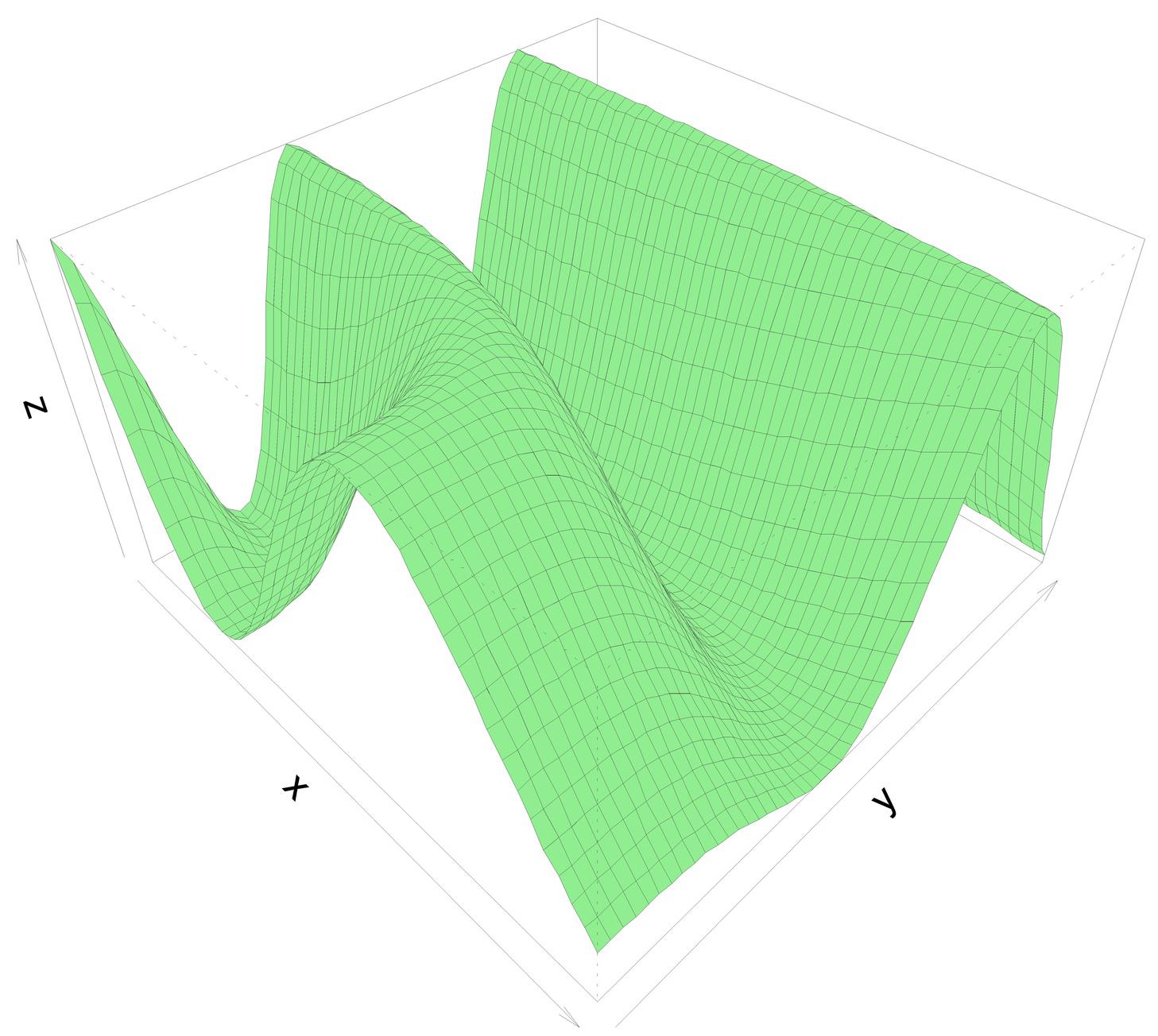
Environmental projects, such as municipal water supply monitoring, environmental impact assessments, and site remediation, often come required conceptual design and modeling to understand subsurface conditions. Using proven data management practices, we incorporate geologic, hydrogeologic, hydraulic, and contaminant information that our Geographic Information System (GIS) analyzes and visualizes to produce specialized maps such as: • Aquifer Conditions, Ground water flow and direction, • Hydraulic design of storm water and ground water (drainage, dewatering, soil protection, land subsidence, heaving piping) • Urban Drainage system, • Hydro stratigraphic cross-sections • Interpreted geologic surfaces • Groundwater recharge flux • Potential contaminant sources Sub surface visualization with 3D models Beyond the GIS data assessment, we use the Environmental Data Model to develop three-dimensional geological conceptual models and numerical groundwater flow and transport models.
On Inquiry
On Inquiry